US to Provide Ukraine Training on Software Used for Target and Route Analysis
US Cyber Command workspace.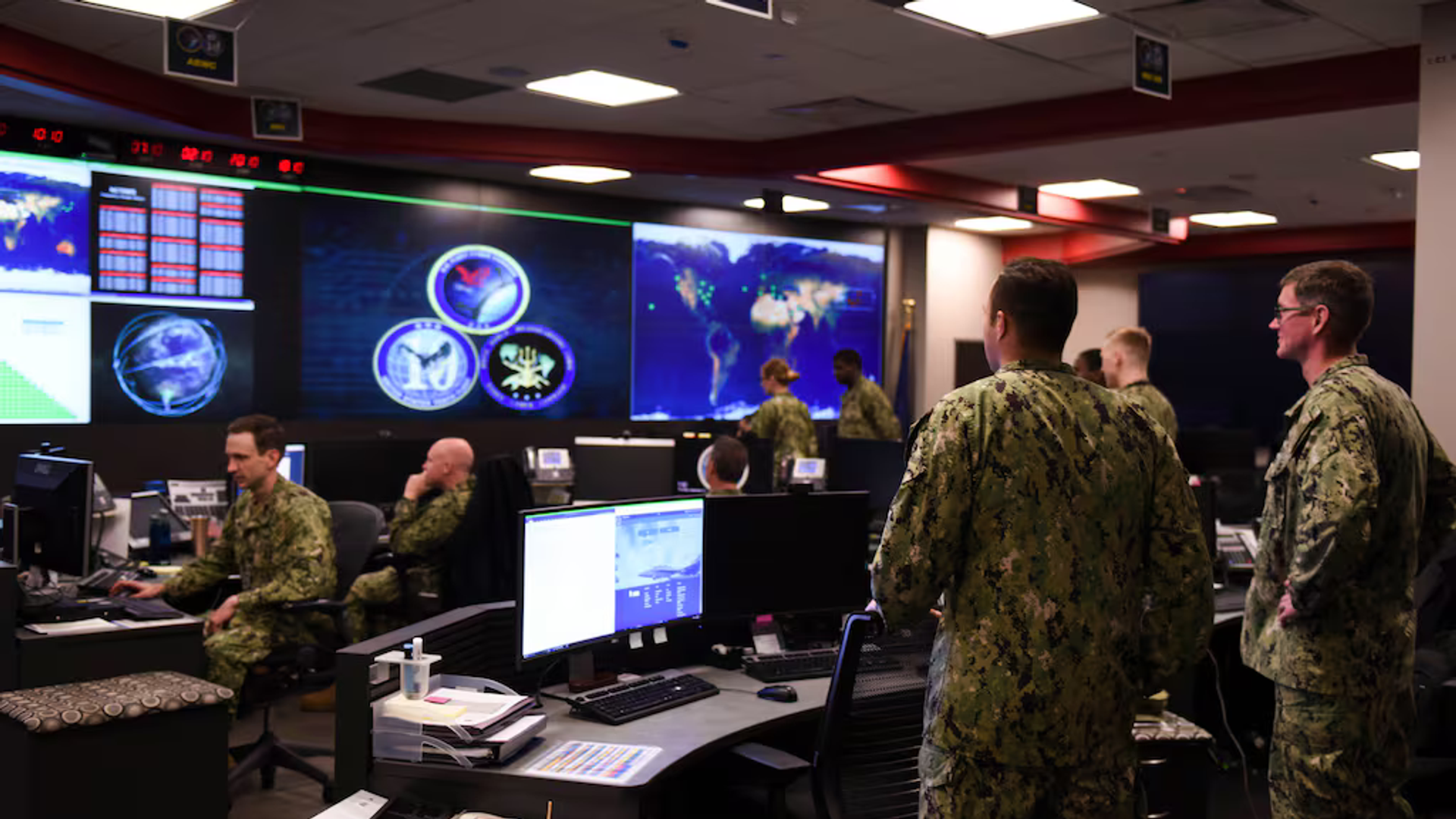
WASHINGTON (Sputnik) — The US National Geospatial-Intelligence Agency has initiated a sole-source procurement to deliver commercial geospatial software training to Ukraine, according to a Sputnik correspondent’s analysis of public records on the official US federal contracting portal SAM.gov and technical documentation published by the developer.The plan is to purchase instruction for an enterprise intelligence platform that its developer states provides target analysis capabilities to disrupt adversary logistics bases and calculate optimal movement routes.In a formal procurement notice published on September 11, 2026, the agency detailed its intent to award a purchase order for 145 daily training passes for proprietary ArcGIS software created by the California-based Environmental Systems Research Institute, known as ESRI, covering a performance period from September 21, 2026, through September 20, 2027. «This solicitation is for the new buy to procure ArcGIS in support of the Ukraine Building Partner Capacity (BPC) Program. ESRI is the only provider of its ArcGIS software,» the notice on Sam.gov said. The planned transaction is structured as a firm fixed-price commercial purchase order with no option years under the US Building Partner Capacity framework, a security cooperation authority through which the US federal government equips and trains foreign military partners. Although contracting officers designated the procurement as sole source due to ESRI’s proprietary ownership of the software, the notice permits certified commercial resellers to submit competing quotes on a lowest-price compliant basis before submissions close on September 18, 2026. While government filings describe the order as commercial technical instruction, public documentation released by the developer details how defense units employ the tools for combat intelligence and operational planning. In an analysis published in October 2024, ESRI national security engineers explained that the ArcGIS platform enables commanders to monitor and analyze adversary supply lines to locate critical choke points, logistics bases, and preferred routes, adding that by targeting these areas, forces can cripple an adversary’s ability to sustain operations. The developer documentation also outlines how spatial analysis features evaluate terrain elevation, vegetation, and built infrastructure to calculate optimal transit paths and assess the positioning of friendly and enemy anti-aircraft systems. Additionally, the analysis highlights capabilities designed to uphold international rules of engagement and mitigate collateral damage, noting that the system incorporates geographic data on civilian populations, protected sites, and non-combat zones to help planners avoid civilian casualties during operational planning. WorldUS Should Stop All Aid to Ukraine to Speed Up Settlement — Kremlin Aide9 September, 12:22 GMT